Two new apps using data from Ordnance Survey are helping emergency services to navigate more quickly to emergency calls – cutting response times and potentially saving lives.
EmergencyLocate was developed by Nick, a strategic operations manager with the Scottish Ambulance Service, during the pandemic. It is designed for emergency, search and rescue organisations.
The app provides precise location pings for 999 callers from smartphones, including temporary tracking, without even needing the caller to speak. It enables two-way text messaging from control rooms to smartphone callers for situations where speech is not possible, due to safety or medical issues, with language detection and translation built in.
It also provides 3D satellite and urban building models to enhance coordination between control room, responders and multi-agency responses.
The app is supported by data from OS Emergency Services Gazetteer to supplement its mapping and to signpost responders to previously unlisted physical objects such as roundabouts or postboxes which they can reference on the ground to locate their destination.
There are also plans to incorporate information from the Vernacular Names Tool, launched by OS last year to support emergency services by identifying locations from colloquial nicknames.
EmergencyLocate has already been used over 45,000 times across the UK, Canada, and Australia, supporting responses for water-based incidents, vulnerable or missing persons, medical issues preventing clear communication with 999, as well as incidents where safety or violence is a factor.
Nick said: “For an emergency response, nothing is more critical than location. And I believe location isn’t just about the where, it’s also about how responders are able to make best use of the location data available. The EmergencyLocate platform has been built using extensive real-world experience of this problem to help pinpoint callers more effectively and efficiently. We’re really lucky, here in the UK, to have good adoption of Advanced Mobile Location (AML) technology to provide caller’s coordinates to 999 in most cases. However, there are significant limitations that leave a sizeable gap in the provision of accurate location data, and that’s where EmergencyLocate steps in.”
Navigation
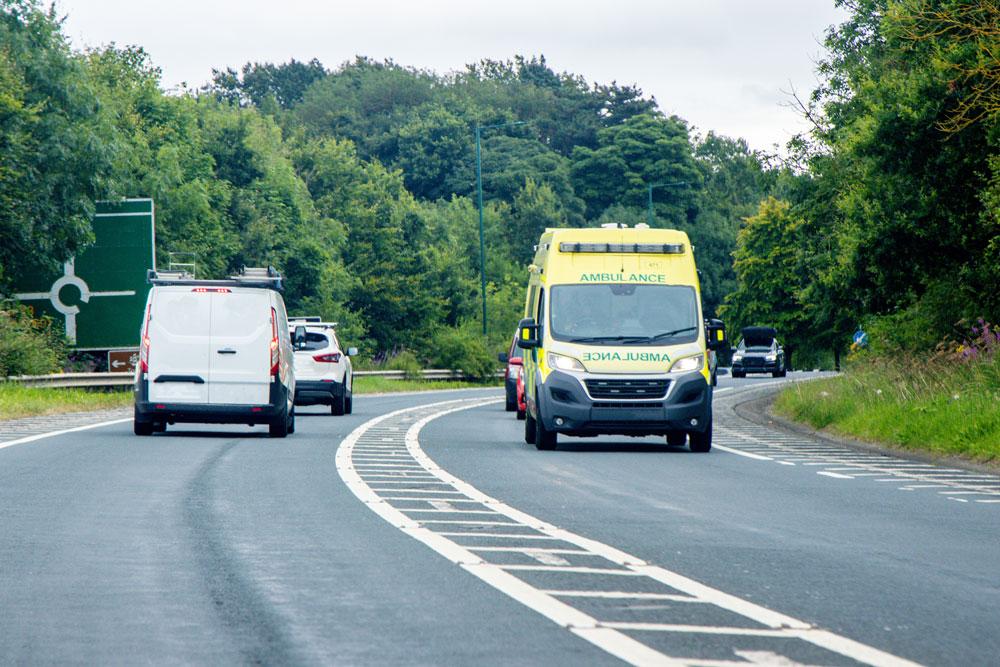
Another app, Blue Light Maps, focuses on routing and navigation to incidents, leveraging OS average speed data. Blue light routing identifies the fastest routes for emergency vehicles, including roads normally restricted to the public (e.g. bus lanes, restricted turns, pedestrian areas), where emergency service exemptions apply.
Consolidated Geospatial data offers improved situational awareness by combining OS National Geographic Database (OS NGD) address and building data with Google Street View and custom emergency service data such as fire hydrant locations.
It uses Waze to alert other drivers of approaching emergency vehicles, helping reduce blue light collisions.
The app’s creator Henry Sternberg, works as a special constable. He said: “When I was first trained to drive on blue lights, lots of new active travel schemes like Low Traffic Neighbourhoods were implemented in the area I policed. I realised that the navigation apps I relied on were taking me on longer routes, even though as an emergency service driver I was still allowed to use the old shortcuts. When I looked into this, I was amazed at how big a problem this was across the country and realised there was a vital gap in mapping solutions designed for frontline emergency services personnel. That inspired me to create a solution.”
Integration & collaboration
Nick and Henry are now working together to explore how their apps can integrate. For example, EmergencyLocate’s SAR Deploy feature could direct users to navigational apps like Blue Light Maps.
The two founders found support and mentorship with the Geovation Accelerator Programme.
John Kimmance, chief customer officer at OS, said: “Everything happens somewhere – and it’s inspiring to see the different ways in which our trusted and accurate location data can help shave vital time off emergency responses. Ordnance Survey has a long-standing relationship with the blue light community and seeing our data supporting these innovative new apps is really rewarding.”